

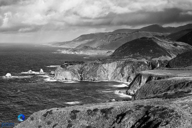
“Big Sur” is commonly known for the California coastline from Carmel to San Simeon. We planned a multiple day trip basing out of the Glen Oaks Motel and Cabins near the Julia Pfeiffer Burns State Park. The plan was to go north to Garrapata State Park and work our way south and then drive south to Gamboa Point and work our way back north. Mother Nature had other plans for us.
There are so many things to photograph in and around Big Sur, so I created a must get punch list. There are numerous named points and countless turnouts along CA Highway 1. Many professionals hold workshops in this area. We were guided by an excellent book that we recommend, Photographing Big Sur by Douglas Steakley.
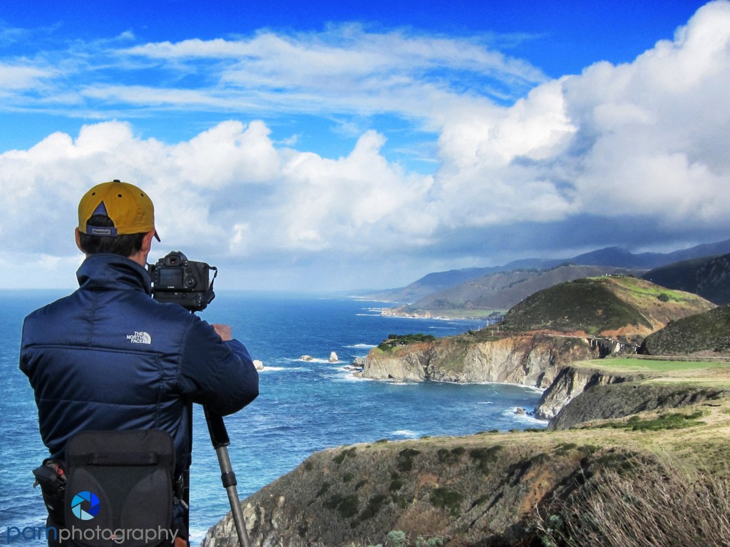
We happened to be in Big Sur the week of Christmas and we experienced the biggest Pacific storm of the year, so it rained constantly for days. We lost about two and a half days of shooting AND CA Highway 1 had a landslide that stopped us from going South. This is a Park and Point post because you do not really have to do any walking or hiking to get these shots. Here is what we were able to shoot in a very compressed time.
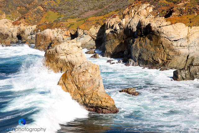
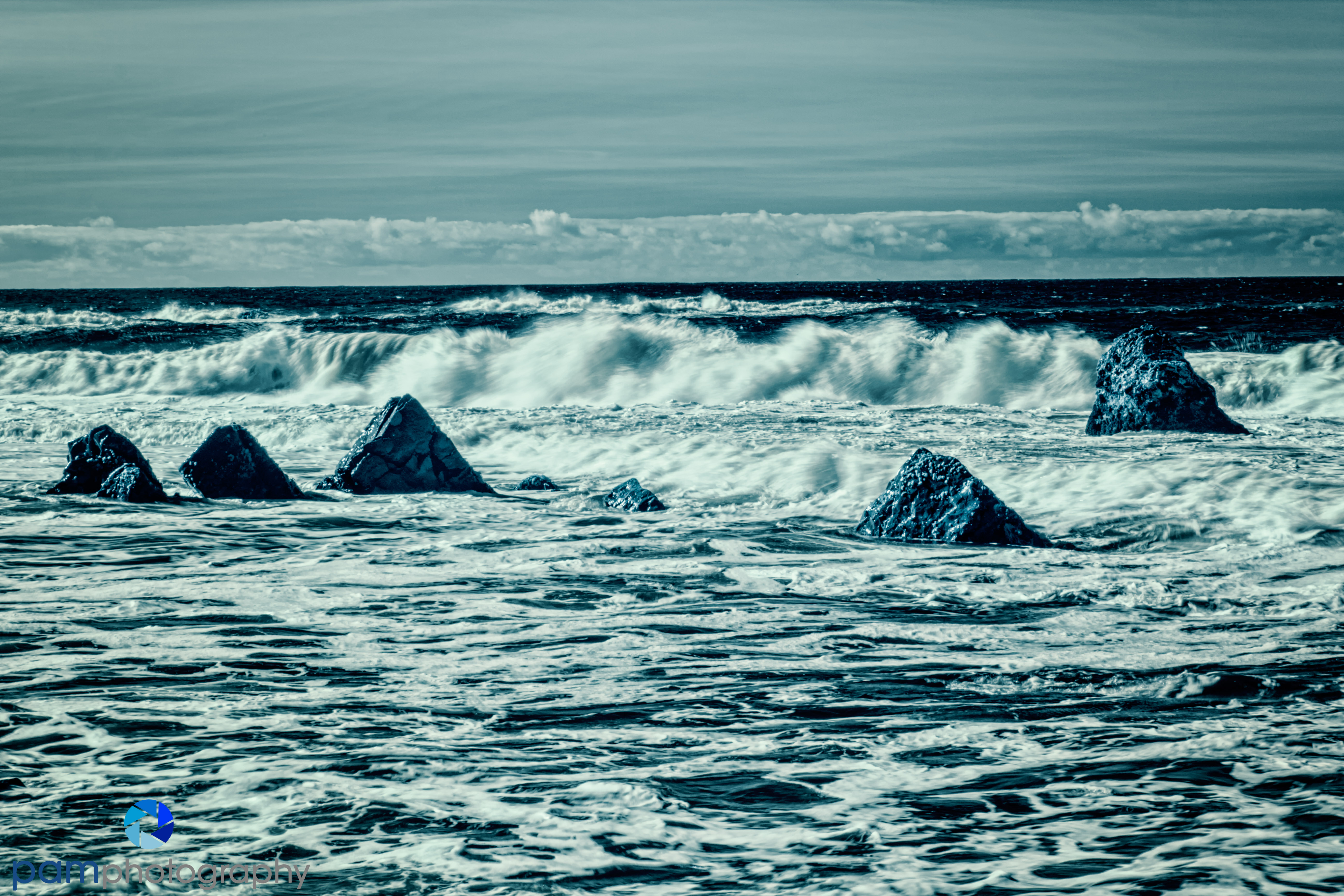
Garrapata State Park, Soberanes Creek, Garrapata Beach, and Soberanes Cove


Rocky Creek Bridge View

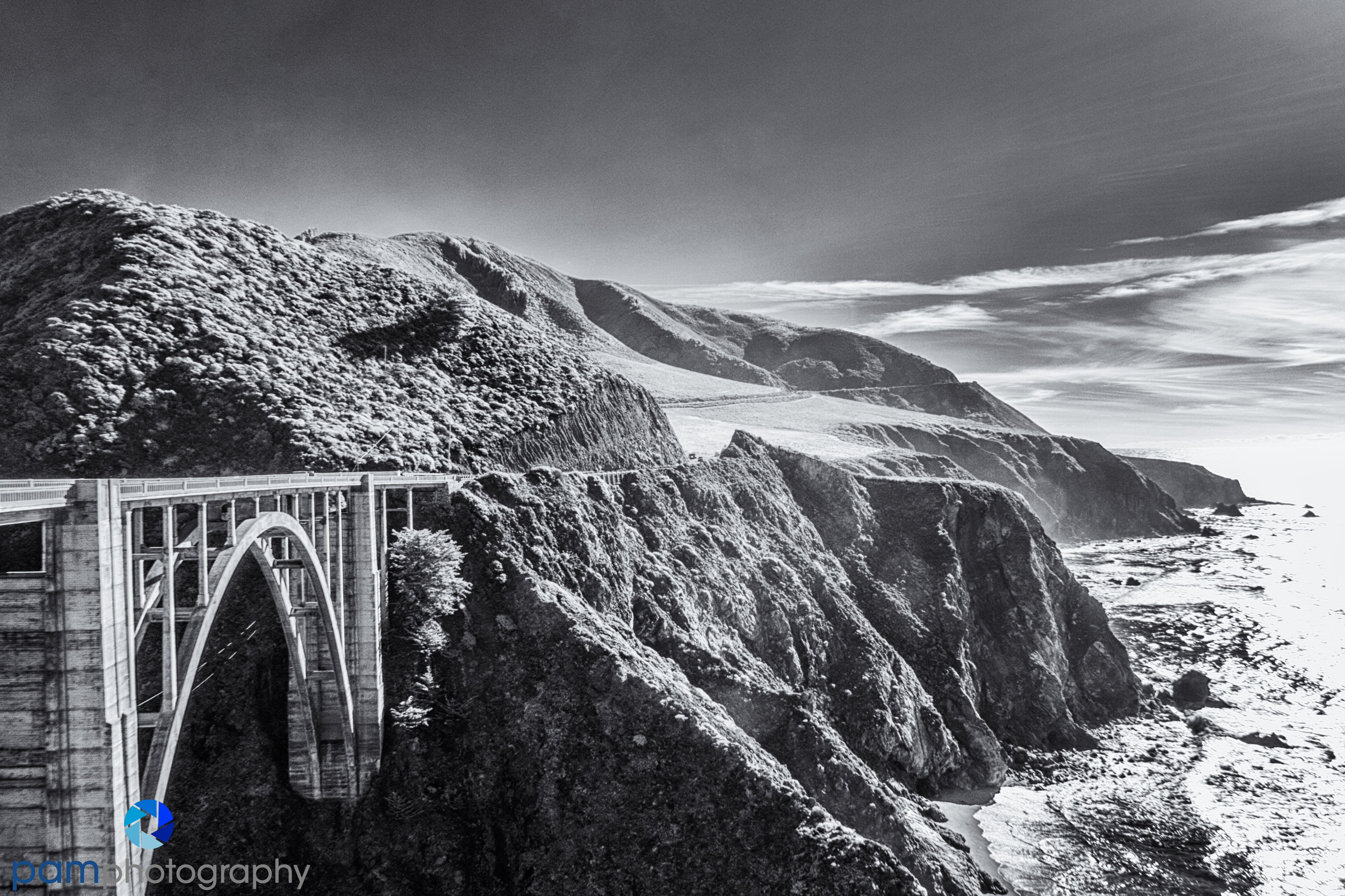
Bixby Creek Bridge
View north from Hurricane Point
Little Sur River Overlook

Point Sur Lightstation

McWay Falls at Julia Pfeiffer State Park

Big Sur coast south from turnout at mile marker 37

Next week a closer look at the iconic Arch at Pfeiffer State Beach.
To see our favorite Park and Point locations, please go to www.parkandpoint.com.
To see more of our photographs, please go to www.pamphotography.com.

Leave a comment