


The first stop on our Southern Utah trip in October was Capitol Reef National Park. Capitol Reef is a bit off the beaten path, is one of the many national and state parks within the Grand Circle, and has several key features of the Colorado Plateau. There were three things we wanted to accomplish. Drive through Cathedral Valley; photograph from Panorama Point and the Goosenecks Overlook; and see the Fruita Village and several of the large washes. The one area we did not get to was the gigantic Water Pocket Fold in the Southern part of the park. We will cover the majestic Cathedral Valley in our next blog.

Goosenecks Overlook and Panorama Point
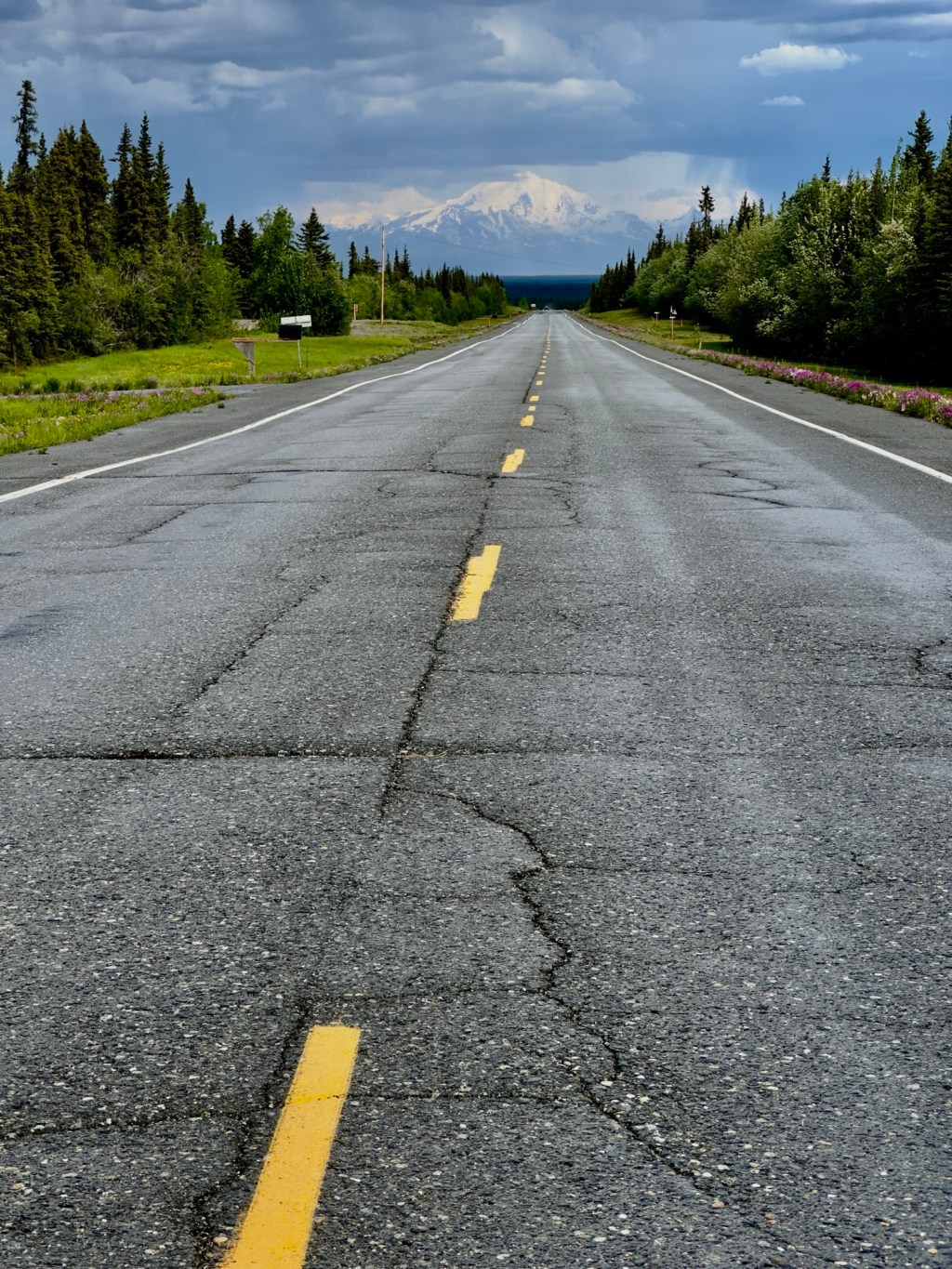
The little town of Torrey, UT is the gateway to Capitol Reef. It is easy to drive in and out of the park from your hotel there. These two points are right next to each other and not more than 15 minutes from town. We shot Goosenecks Overlook twice and and Panorama Point twice. Most of the roads in Capitol Reef involve some kind of well groomed dirt road. After driving up a small dirt road you end up on a point looking east – Goosenecks Overlook, and one looking west – Panorama Point. As you can see the dominate colors are red and pink sandstone with some small green pinion and juniper trees known as a pygmy forest.

Either way, there is not much to shoot when you are shooting directly into the sun for sunrise and sunset. You need to shoot away from the sunrise or sunset and capture the flat light as it bounces off of the red rocks. We did not have outstanding skies, but did get one good one.

The bad news about a bald sky is you do not get much color on the high clouds that can really make for a pink sunrise or sunset. On the other hand, with clear skies, clean atmosphere and a view from horizon to horizon, you get to see distinctly the Earth’s own shadow on our atmosphere. The shadow appears as a dark band just above the horizon. The pink band above the darker blue band is called the Belt of Venus or the anti-twilight arch. We saw these clearly in Capitol Reef and captured them in this photo.

Hike to the Hickman Bridge
There are many arches, natural bridges, and spans in this part of the country. The Hickman Bridge is a grand arch that is fairly accessible after a one mile hike. Unfortunately, due to weather, time, and schedule, Mary and I did not make it up there. Just because we missed it, does not mean you should. I wish we would have scheduled our time better. See photos of the Hickman Bridge on this Flickr link.
Historic Fruita Settlement
Fruita, the remnant of a 200-acre late frontier settlement, hugs the banks of the Fremont River and Sulphur Creek. Mormon pioneers recognized the site’s potential as a settlement and so they established homesteads and planted orchards in the 1880s. Some of the historic buildings and fruit trees still stand. The current Visitor’s Center is located in the Fruita area.

Across the street from the Visitor’s Center above you looking southwest is The Castle. There is a small creek, several cottonwood trees, and a grassy meadow. We shot this area a few times. It can look good in the morning – after you finish sunrise and also in the afternoon before you shoot sunset.


Down the street is the old Fruita one-room school house. We came upon it mid-morning with the sun providing some nice back-lighting to the yellow cotton wood tree and Rabittbrush. We also got some very interesting reflection shots and some interior shots that are surreal. This was a really fun set up and you should plan to make a stop here.

Around the corner from the Visitor Center are the old farm house, blacksmith shop, and horse barn. Again, we ended up here in the late afternoon an hour or so before sunset. We photographed many angles and directions of the barn and horses. There is also a road very close to the barn. Walking around and creating different angles was a fun challenge. The horses were bunched up in front of the barn for a long time. They finally moved out in the field and we got this shot.
Walk the Grand Wash
Departing the Visitor’s Center, take the Scenic Drive south. It is a 20 mile or so paved road that leads to a dead end. Along the road are a series of washes that are small valleys carved along the cliffs that are not quite narrows, but smaller than a big valley. There were not many “big landscape shots” here, but with a little looking and imagination, there were a lot of interesting details and small, intimate landscapes, and natural abstracts.


Next time, we will write about the highlight of our trip – the fifty mile one way dirt road trip through Cathedral Valley.

We used Photographing the Southwest by Laurent Martres as our main guidebook on our trip (see this month’s book review), and as always, Robert Hitchman’s newsletters. To see more of our photography, please go to www.pamphotography.com.

Leave a comment