

This is the first of several blogs about our eight day (October 4 – 12) trip driving through Vermont looking for fall color. We drove 1,200 miles in those eight days, mostly on back roads and small highways. Here’s how to do it.

Most of the time Mary and I like to use a guide or photography workshop when we go someplace new. That does not always work out. The next best thing is doing a lot of research. As we planned our trip, we used David Middleton’s, The Photographer’s Guide to Vermont and two Photograph America newsletters from Bob Hitchman. We also bought a Delorme Atlas. You can not imagine how valuable this large paper atlas was. Most of the places we went to did not have cell service and the dirt roads are confusing and not obviously signed. I think we are all spoiled with GPS and cell phones now and under appreciate a good road map. If you really want to go to Vermont, this atlas is a must.
The second and third weeks in October are the busiest time of the year. Everyone is chasing “peak color.” Since we live in CA, we had this trip planned for almost a year. The hotels and restaurants fill up fast this time of the year, so you have to be planful. We stayed in White River Junction and Manchester giving us the option to drive North or South depending on where the color was peaking.
Fall color in the Northeast moves from North to South and from East to West. It begins at higher elevations and works its way down. We planned our trip in great detail with plenty of options. The one thing we did not plan on was two big storms that brought rain and wind. The rain and wind knocked down the leaves and I think the consensus was peak was over by the end of the week we were there.
Vermont is an ideal place to see fall color because the Green Mountains run down the middle of the state from Canada to Massachusetts and highway route 100 conveniently goes right through with plenty of “gaps” to go down either side. The Appalachian Trail also runs through the middle of the state providing plenty of and convenient hiking trails.
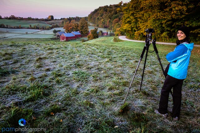
David Middleton divides Vermont into three sections anchored by Manchester in the South, Woodstock in the middle, and Stowe in the North. We planned our trip accordingly. One of the best ways to see this beautiful country is to find these long back roads through the mountain gaps and many times along brooks and steams with many ponds along the way. The roads are unlike any dirt roads I have been on in CA. They are hard, smooth, and kick up no dirt and dust at all.
So the punch list looked something like this:
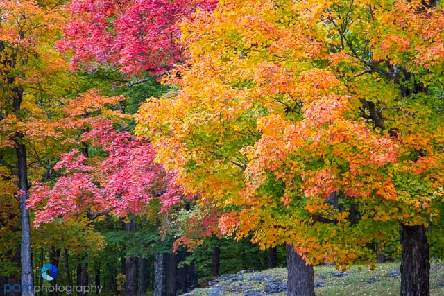
Colorful Trees

Covered Bridges

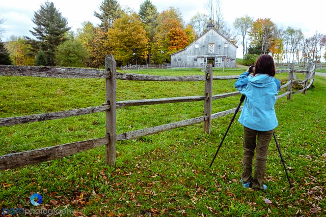
Barns
Pond Reflections (of trees)

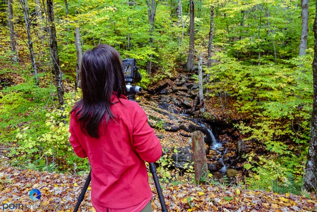
Streams and Brooks

Next time, the Jenne Farm (allegedly the most photographed farm in America).
To see (and buy) our photos, please go to www.pamphotography.com.

Leave a comment